 What is the Freight Planning?
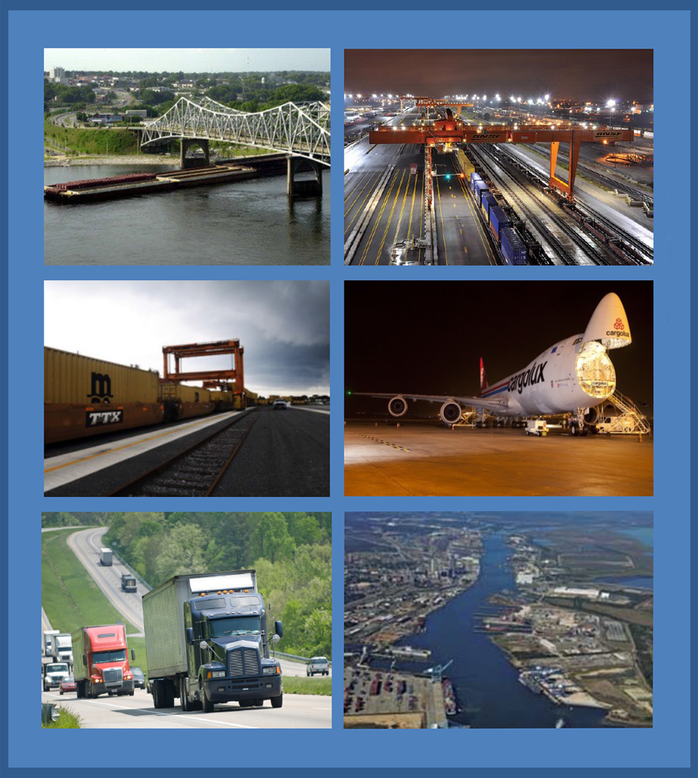
Freight issues are increasingly important to overall statewide planning by all State Departments of Transportation. Economic development and population growth projection are putting increasing pressures on modal choice for delivery of raw materials and finished goods to, from, within, and through the State of Alabama. Manufacturing and distribution activities using air, rail, truck, and waterborne services are seeking faster, less costly, and more efficient means of reaching targeted markets; this demands that the Alabama transportation network, as a whole, functions as smoothly as its many modal parts and intermodal combinations will allow.
Viewers will find this site is primarily a data and information resource relying heavily on mapping and illustration. The intent is to provide planning data and narrative pertaining to modal and intermodal movement both within the state of Alabama and also within a larger regional context. This site will be the repository of the Alabama Statewide Freight Plan and other freight related information.
In Alabama, a large percentage of commodities or goods are transported by truck. This means an increased congestion for much of the state. The truck is the mode most directly influenced by ALDOT and its management operations and maintenance of the state roadway network. ALDOT diligently maintains its network while adding capacity to major roads and building new infrastructure where feasible.
The Port of Mobile is one of the nation’s deepest permanently navigable channels. The USDOT’s Bureau of Transportation Statistics maintains a list of the top 50 U.S. water ports, ranked by total tons. The Port of Mobile ranks 12th on that list. The port receives everything from wood pulp to metals to chemicals to coal. The purpose of this section is to demonstrate the types and location of freight moving by port in Alabama.
Pipelines are one of the most practical ways to move liquid petroleum products. 71% of crude oil and petroleum products are shipped by pipeline, 22% move by tanker and barge, 4% move by truck, and 3% go by rail. Pipelines handle everything from crude oil to natural gas to highly volatile liquids. The purpose of this section is to show the locations of pipelines.

This map depicts the entire National Primary Freight Network. More information on the National Primary Freight Network can be found on the Federal Highway Administration’s website

This map depicts the entire State of Alabama Freight Roadway Network. More information on the State of Alabama Freight Roadway Network can be found on the FHWA Freight Infrastructure for Alabama's website
For questions pertaining to the Statewide Transportation Plan contact Office Engineer, Planning Studies at 334.242.6085.
 Federal Law and Alabama Code